Log in
All resources
Create a design
Tools
402 Free Images of 1880 Maps
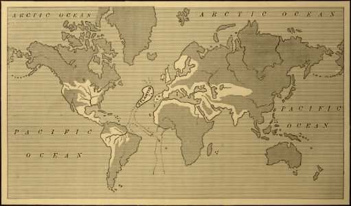
maps from the earth and its inhabitants, vol. iv
history
historical
atlas des anciens plans de paris by imprimerie nationale, 1880 from bhvp
1880s maps of the british isles
maps in the library of congress
map of paris by jouvin de rochefort (boutier 112)
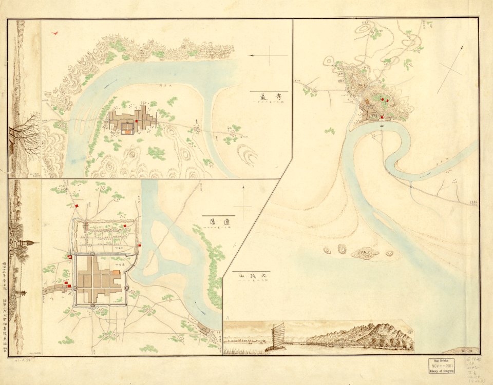
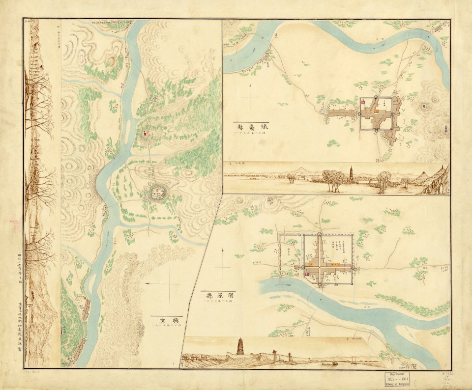
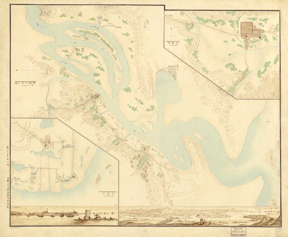
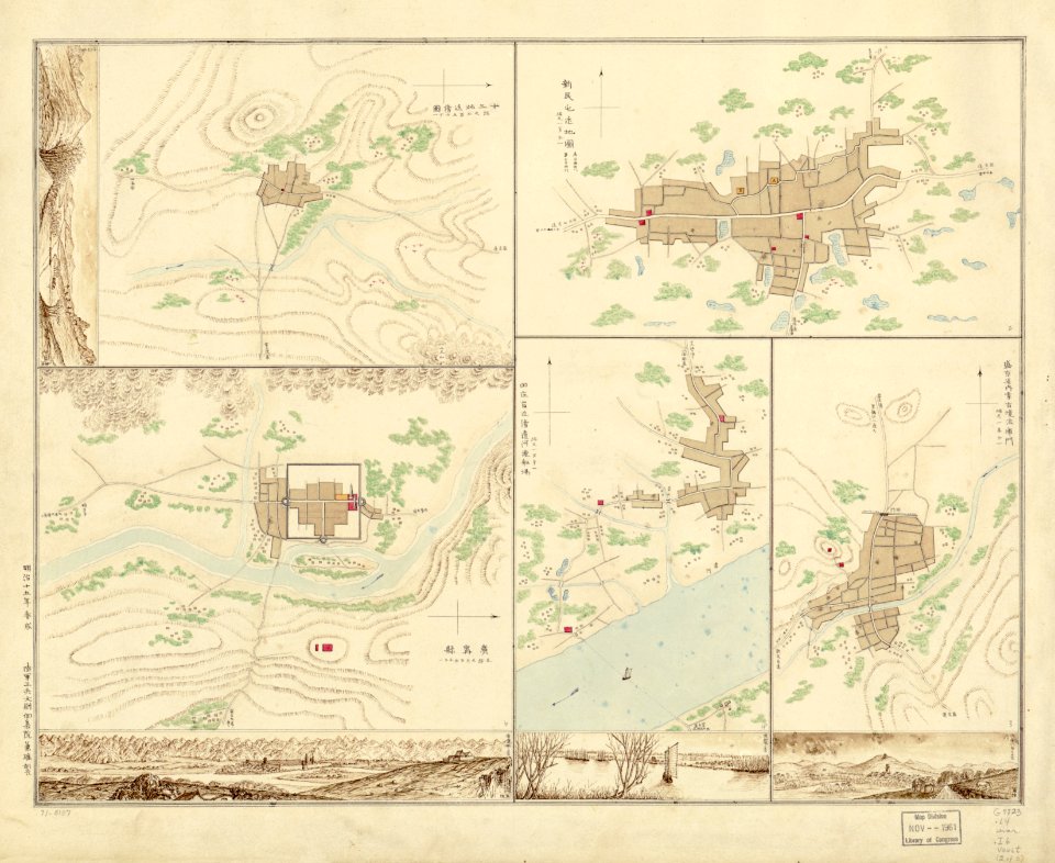
old maps of manchuria
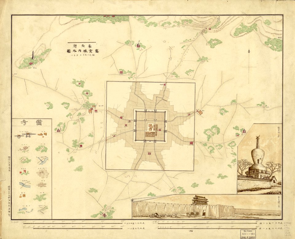
1880s maps of china
japanese-language maps
historical
history
maps from the earth and its inhabitants, vol. iv
1880s maps of ireland
historical
history
historical
history
algeria in the 1880s
old maps of algeria
historical
history
maps by jan eduard wagner
františek kytka
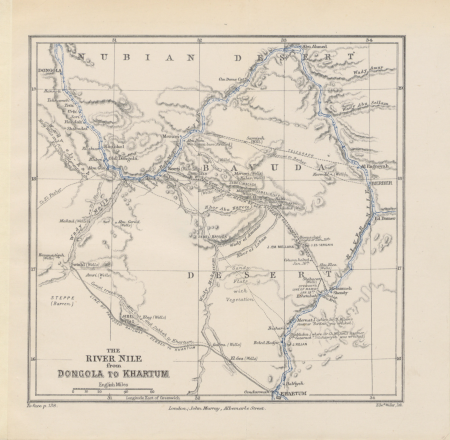
too late for gordon and khartoum (1887) by macdonald
maps of the mahdist war
too late for gordon and khartoum (1887) by macdonald
maps of the mahdist war
historical
history
maps from the earth and its inhabitants, vol. iv
mount merrick
atlas des anciens plans de paris by imprimerie nationale, 1880 from bhvp
plan de roussel
historical
history
historical
history
historical
history
historical
history
historical
history
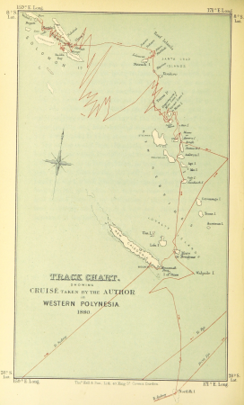
wanderings, south and east (1882)
old maps of polynesia
1860s maps of china
1863 maps of asia
historical
history
atlas des anciens plans de paris by imprimerie nationale, 1880 from bhvp
maps of paris by braun & hogenberg
maps from the earth and its inhabitants, vol. x
kassala
maps from the earth and its inhabitants, vol. v
1880s maps of iceland
thomas robert macquoid
maps of the ardennes
maps from the earth and its inhabitants, vol. v
19th-century maps of scandinavia
maps from the earth and its inhabitants, vol. iv
1880s maps of london
the cruise of the marchesa (1889)
19th-century maps of borneo
maps in the rijksmuseum amsterdam
paintings of venice
historical
history
maps from the earth and its inhabitants, vol. iv
old maps of kingston upon hull
maps from the earth and its inhabitants, vol. iv
old maps of the east riding of yorkshire
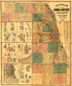
everett d. graff collection of western americana
maps of the indian territory
maps from the earth and its inhabitants, vol. iv
1880s maps of the british isles
maps from the earth and its inhabitants, vol. iv
1880s maps of the british isles
maps from the earth and its inhabitants, vol. iv
1880s maps of the atlantic ocean
maps from the earth and its inhabitants, vol. iv
1880s maps of london
historical
history
atlas des anciens plans de paris by imprimerie nationale, 1880 from bhvp
map of paris by jouvin de rochefort (boutier 112)
bird
maps
the cruise of the marchesa (1889)
19th-century maps of new guinea
1880s maps of south africa
emil holub
algeria in the 1880s
mascara, algeria
atlas des anciens plans de paris by imprimerie nationale, 1880 from bhvp
map of paris by jouvin de rochefort (boutier 112)
atlas des anciens plans de paris by imprimerie nationale, 1880 from bhvp
18th-century maps of paris
maps from the earth and its inhabitants, vol. iv
faversham creek
owari meisho zue
atlas des anciens plans de paris by imprimerie nationale, 1880 from bhvp
map of paris by jouvin de rochefort (boutier 112)
maps from the earth and its inhabitants, vol. iv
ragstone
atlas des anciens plans de paris by imprimerie nationale, 1880 from bhvp
dheulland map of paris
atlas des anciens plans de paris by imprimerie nationale, 1880 from bhvp
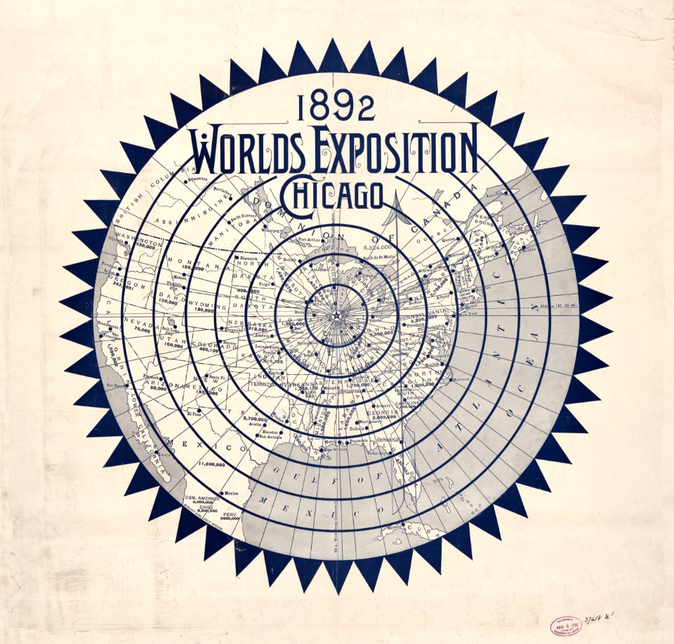
proletarian literature
1880s maps of taiwan
1889 in taiwan
maps from the earth and its inhabitants, vol. iv
ragstone
maps from the earth and its inhabitants, vol. iv
amesbury
illustrations from découverte de la terre
jacques cartier by théophile hamel
maps from the earth and its inhabitants, vol. iv
topographic maps of scotland
historical
history
maps from the earth and its inhabitants, vol. iv
maps of balmoral castle
historical
history
maps from the earth and its inhabitants, vol. iv
19th-century maps of surrey
maps from the earth and its inhabitants, vol. iv
maps of penzance
maps from the earth and its inhabitants, vol. x
1886 maps of africa
maps from the earth and its inhabitants, vol. iv
old maps of cardiff
johann friedrich steffenhagen und sohn
linguistic maps of baltic languages
map of paris by jouvin de rochefort (boutier 112)
maps of paris by françois de la pointe
maps from the earth and its inhabitants, vol. iv
maritime maps of the united kingdom
historical
history
maps from the earth and its inhabitants, vol. iv
maps of balmoral castle
maps from the earth and its inhabitants, vol. iv
old maps of hastings, england
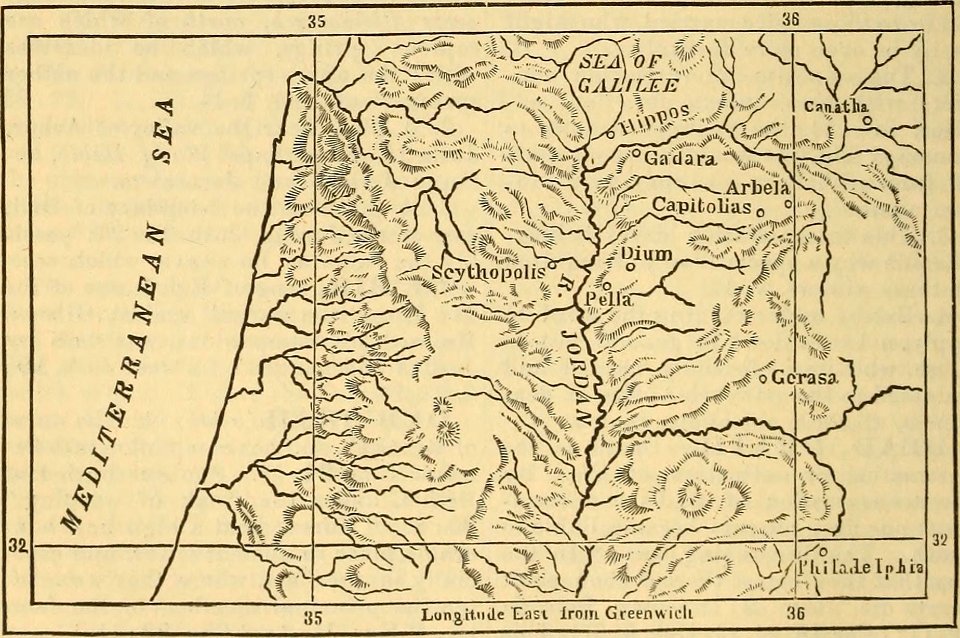
la palestine (1883, by chardin)
travel maps of palestine
maps from the earth and its inhabitants, vol. iv
old maps of cardiff
inventio fortunata. arctic exploration. (1881)
johannes ruysch
atsuta shrine in art
owari meisho zue
atlas des anciens plans de paris by imprimerie nationale, 1880 from bhvp
map of paris by françois quesnel
géographie du département d'ille-et-vilaine (1881)
19th-century maps of ille-et-vilaine
shores and alps of alaska (1887)
1880s maps of alaska
too late for gordon and khartoum (1887) by macdonald
maps of the mahdist war
too late for gordon and khartoum (1887) by macdonald
1880s maps of sudan
shores and alps of alaska (1887)
1880s maps of alaska
atlas des anciens plans de paris by imprimerie nationale, 1880 from bhvp
map of paris by françois quesnel
maps from the earth and its inhabitants, vol. iv
severn estuary
shores and alps of alaska (1887)
1880s maps of alaska
shores and alps of alaska (1887)
1880s maps of alaska
atlas des anciens plans de paris by imprimerie nationale, 1880 from bhvp
plan de roussel - partial files
atlas des anciens plans de paris by imprimerie nationale, 1880 from bhvp
plan de roussel - partial files
atlas des anciens plans de paris by imprimerie nationale, 1880 from bhvp
map of paris by françois quesnel
paintings by kawanabe kyōsai
mount fuji in art
maps from the earth and its inhabitants, vol. iii
old maps of hungary
maps from the earth and its inhabitants, vol. iv
falmouth bay
historical
history
maps from the earth and its inhabitants, vol. iv
dublin bay
maps from the earth and its inhabitants, vol. iv
milford haven
maps from the earth and its inhabitants, vol. iii
old maps of denmark
maps from the earth and its inhabitants, vol. iv
montrose, angus
maps from the earth and its inhabitants, vol. iv
1880s maps of the british isles
maps from the earth and its inhabitants, vol. iv
1880s maps of the british isles
maps from the earth and its inhabitants, vol. iv
1880s maps of the british isles
maps from the earth and its inhabitants, vol. iv
1880s maps of the british isles
maps from the earth and its inhabitants, vol. iv
1880s maps of the british isles
maps from the earth and its inhabitants, vol. iv
1880s maps of the british isles
maps from the earth and its inhabitants, vol. iv
1880s maps of the british isles
201 - 300 of 402
Next page
/ 5